Log in
All resources
Create a design
Tools
271 Free Images of 1855 Maps
science
period
smithsonian libraries
smithsonian contributions to knowledge v.7 (1855)
wisconsin
russian shipwrecks 1713—1853
maps by joseph hutchins colton
pages with maps
cc-zero
maps in the library of congress
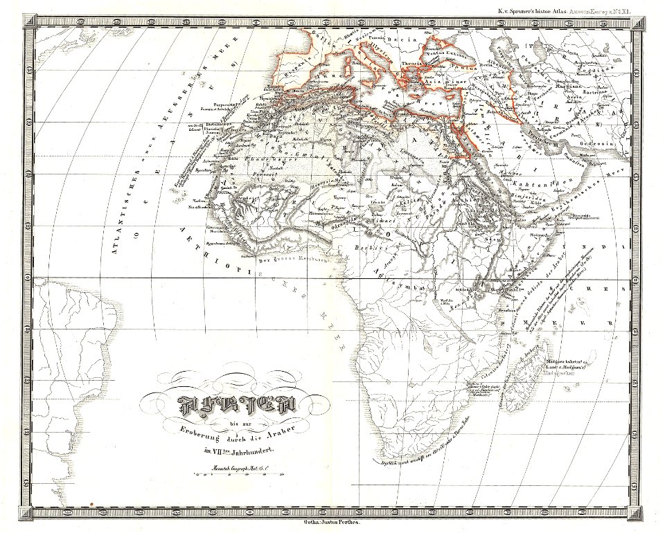
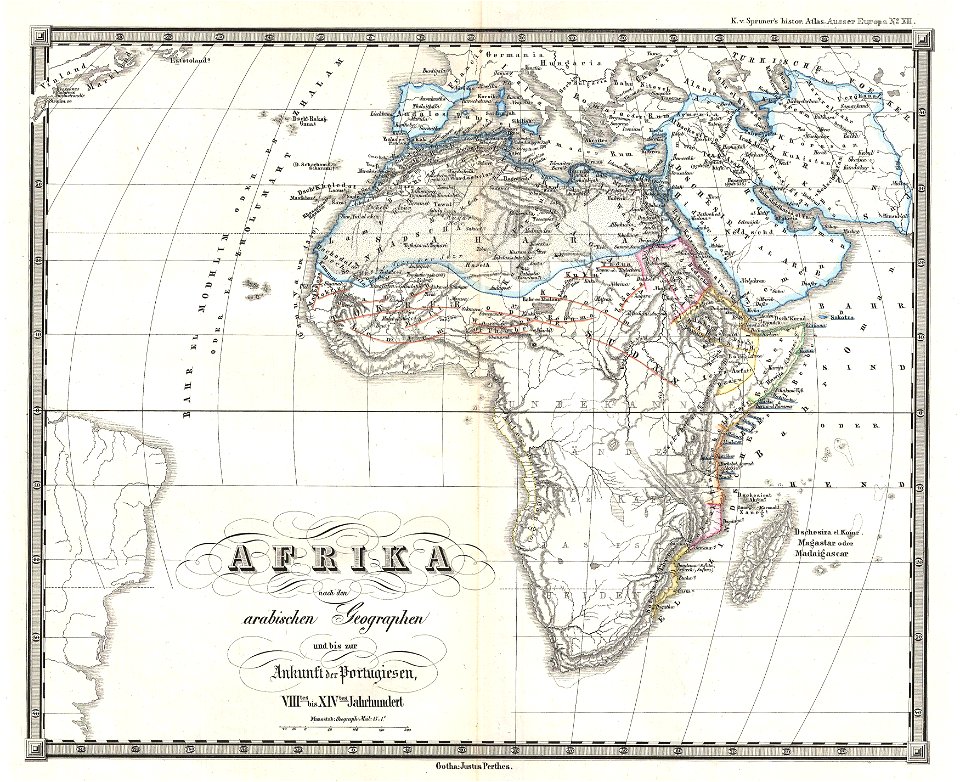
karl spruner von merz
1855 maps of africa
maps by joseph hutchins colton
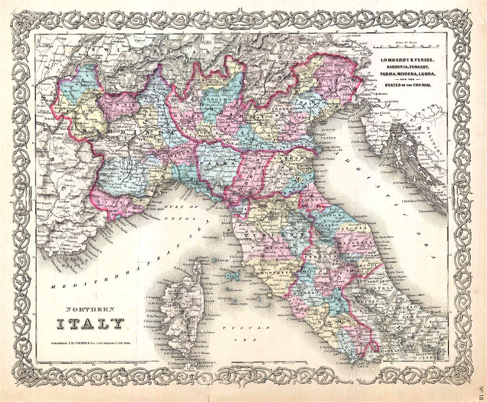
19th-century maps of italy
karl spruner von merz
1855 maps of africa
karl spruner von merz
1855 maps of africa
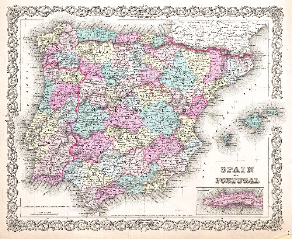
old maps of the iberian peninsula
1850s maps of portugal
old maps of asia
1855 maps
maps of the ottoman empire in the 19th century
maps by joseph hutchins colton
brooklyn borough hall
new york city hall
old maps of calabria
old maps of malta
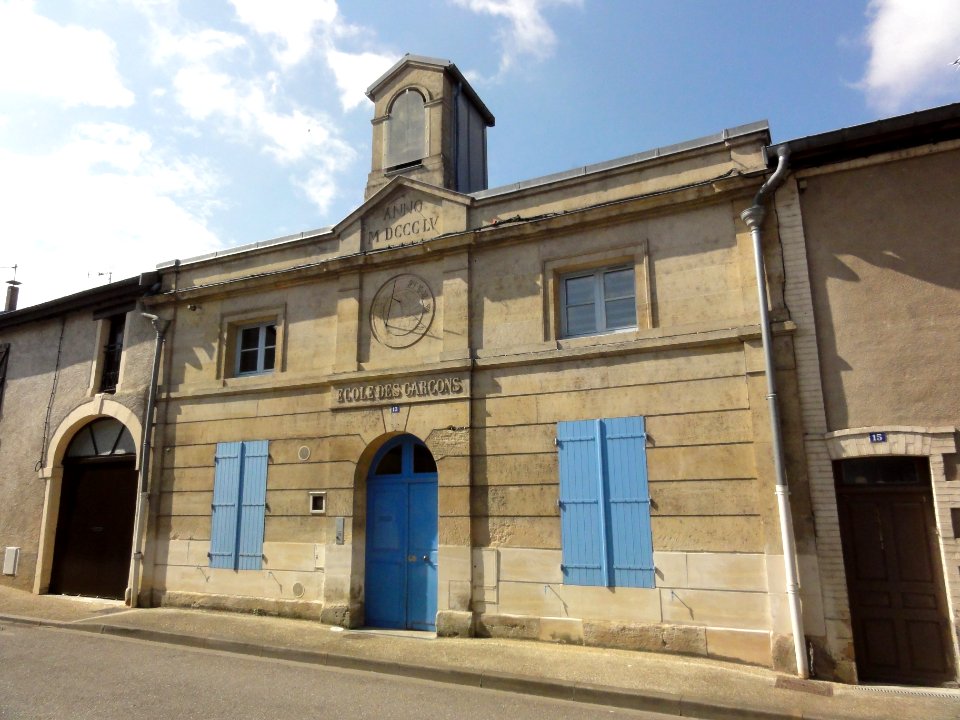
old maps of rennes
gare de rennes
maps by joseph hutchins colton
1855 maps of arkansas
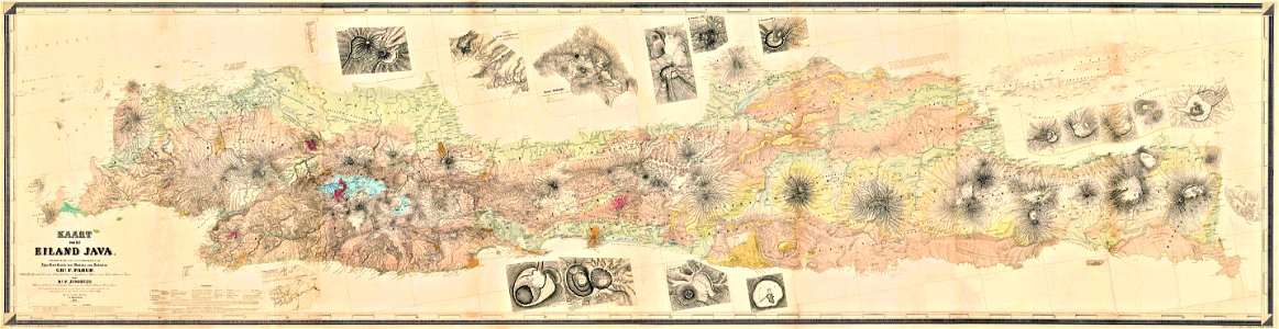
maps of west java
1855 maps
maps by franz wilhelm junghuhn
old maps of java
lidingöbro värdshus
villervallan
old maps of the saint lawrence river
maps by joseph hutchins colton
maps in the library of congress
1855 maps
maps in the library of congress
1855 maps
british battles on land and sea
1873 drawings
political maps of the world
1852
maps in the library of congress
1861 maps
maps in the library of congress
1861 maps
lithographs of paris
1877 in paris
history of melbourne
maps of melbourne
self-published work
pages with maps
world map
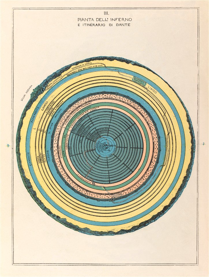
hell
featured pictures by evdiam
divine comedy
self-published work
architecture
self-published work
architecture
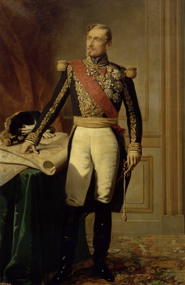
badges of the legion of honour in portrait paintings
military uniforms of france second empire
architecture
facade
self-published work
wtfpl
1855 maps of the russian empire
1850s maps of crimea
vue (en relief et à vol d'oiseau) de paris by jacques-alphonse testard
maps of paris from bibliothèque nationale de france
maps from the mechanical curator collection available to georeference
maps from the mechanical curator collection
parts of old maps of hamburg
steintor (hamburg)
self-published work
pages with maps
maps from the mechanical curator collection
1855 maps
maps from the mechanical curator collection
19th-century maps of the nile river
peter schwingen
peter de weerth
joseph lemercier
auguste logerot
old maps of manhattan, new york city
croton aqueduct
bibliothèque municipale de reims, chgg 9
old maps of marne
maps of edinburgh by braun & hogenberg
18th-century maps of scotland
skylines of lübeck
elias diebels
clifton (bristol ward)
old maps of clifton
clifton (bristol ward)
old maps of clifton
russian shipwrecks 1713—1853
russian shipwrecks 1713—1853
russian shipwrecks 1713—1853
russian shipwrecks 1713—1853
russian shipwrecks 1713—1853
russian shipwrecks 1713—1853
russian shipwrecks 1713—1853
russian shipwrecks 1713—1853
russian shipwrecks 1713—1853
russian shipwrecks 1713—1853
admiralty charts 2401-2600
achill head
russian shipwrecks 1713—1853
russian shipwrecks 1713—1853
russian shipwrecks 1713—1853
russian shipwrecks 1713—1853
russian shipwrecks 1713—1853
russian shipwrecks 1713—1853
russian shipwrecks 1713—1853
russian shipwrecks 1713—1853
old maps of north america
realism
old maps of lycoming county, pennsylvania
maps in the library of congress
historical
history
sanborn maps of manhattan published in 1903
gramercy park
shadows of the east; or, slight sketches of scenery, persons and customs, from observations during a tour in 1853 and 1854, in egypt, palestine, syria, turkey, and greece (1855) by tobin
1855 maps of spain
lithographs in the british museum
aimable pélissier
eran laor cartographic collection
edward weller
fortifications of hamburg
gates in hamburg
science
maps
science
maps
science
maps
science
maps
science
maps
science
maps
science
maps
historical
history
science
maps
science
maps
science
maps
science
maps
science
maps
science
maps
science
maps
science
maps
science
maps
science
maps
science
maps
science
maps
science
maps
science
maps
science
maps
science
maps
science
maps
science
maps
peter schwingen
peter de weerth
101 - 200 of 271
Next page
/ 3